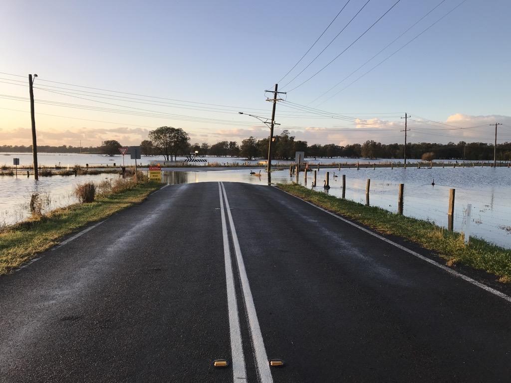
Flood Risk Management Study and Plan
The adopted Hunter River Floodplain Risk Management Study and Plan (2015) provides recommendations to Council on how to effectively manage flood risk and protect the community.
Building on flood studies, it uses a range of expertise to find risks and assess management options, focusing on how effective, practical and impactful they are for the community and environment.
Flood risk management
Flood risk is managed by all levels of government, with primary responsibility resting with local councils. We’re working with our community and other agencies to be ready for the effects of changing climate and natural hazards, now and into the future.
Our Environmental Sustainability Strategy 2030 outlines how we play an active role in increasing community preparedness for floods and other natural hazards. Meanwhile, our Local Strategic Planning Statement 2040+ plans for a resilient city that can adapt to a changing climate.
There are four stages of flood risk management:
Prevention
Flood prevention aims to reduce flood risk and its impacts on the community during flooding events.
- Our planning process includes flood risk management approaches to ensure new developments are resilient to current and future flood risk. We periodically update our planning controls in our LEP and DCP in response to new state policy and improvements in understanding of local risk conditions.
- Our council assets, like like drainage systems, bridges and recreational areas, are built to withstand design flood impacts and help minimise damage to people and property.
- Council also conducts flood studies to guide policies that improve community resilience.
Preparedness
Flood preparedness ensure that communities, resources and services can effectively respond to a flood emergency.
- Overseeing flood preparedness via the Floodplain Risk Management Committee, which includes councillors, staff, and representatives from SES, Department of Climate Change, Energy, the Environment & Water, and Local Land Services, offering strategic advice on flood matters.
- Promoting community awareness by sharing information on what to do before, during, and after floods. Also installing flood signage to help residents make informed decisions during flood events.
- The Local Emergency Management Plan to guides emergency management operations.
Response
Flood response involves actions taken before, during and immediately after a flood to minimise its impact and provide relief to those affected.
- Providing an Emergency Operations Centre (EOC) to support the combat agency in managing flood response.
- Appointing a Local Emergency Management Officer (LEMO) to coordinate efforts during emergencies, working closely with communities and agencies.
Recovery
Flood recovery is a coordinated effort, helping affected communities rebuild infrastructure and restore emotional, social, economic and physical wellbeing.
- Organising clean-ups and repairs of public assets and areas we manage.
- Informing residents about available government support and advocates on behalf of the community for flood recovery assistance.
Flood studies
A flood study examines how water flows in an area using data on past floods, local conditions and weather patterns to create flood models. It helps understand flood behaviour and supports emergency planning, land use management, and preparation for climate change.
Flood studies predict how floods might occur, providing useful information for councils and agencies to make decisions and protect communities. Studies relevant to Maitland include:

