
Environmental Sustainability Strategy 2030
We want Maitland to be a lively and strong community that leads in environmental sustainability. Our goal is to make sure that caring for the environment, using resources wisely, and living sustainably are part of everyday life. By trying new ideas and involving the community, we aim to be a model for environmental care in the region.
Our themes
Our strategy includes 13 targets across four theme areas, with actions Council will take and indicators which will be measured and reported upon over time to track our progress.
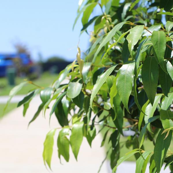
Theme 1: A Green & Blue Maitland
To create a healthy and resilient natural environment where both people and native wildlife can thrive. By enhancing green spaces and waterways to support biodiversity and offer recreational benefits to the community.
Theme 2: Liveable & Resilient Communities
Neighbourhoods that enable high quality of life with connected communities that bounce back from natural hazard events and adapt to a changing climate.
Theme 3: Living Sustainably
A community that is supported to reduce its reliance on non-renewable resources and use water wisely.
Theme 4: Going Circular with Waste
A community with access to services, facilities, and products designed to maximise the value and end-of-life options for valuable materials.
How we are achieving our targets
We are reaching our targets by implementing strategic actions across key areas, including expanding green spaces, improving water quality, and engaging the community in environmental initiatives.


Follow our progress
Track our environmental targets by exploring our dashboard to view real-time data, interactive maps and detailed updates or download our scorecard to see our two years of progress against the ESS.
Get involved
Join local planting events, request street trees, or use our free tree giveaway to help make Maitland greener and more resilient.

